I participated in this event as part of my commitment to Centred Outdoor’s Outdoor Leadership Cohort. I recommend participating in their events throughout the Summer and Fall seasons. You can check out their schedule on their website. Please consider supporting Centred Outdoors and Clearwater Conservancy today.
Sunday dawned bright and happy, perfect for a mini-road trip to Williamsburg. Our plan was to take the scenic route to meet up with Centred Outdoors at the Lower Trail. For 17 miles, this rail-to-trail connects Canoe Creek State Park with Alexandria, PA. Centred Outdoors guided us for a 1.5-mile walk, where we explored the nature and history of this old railway.

Long before colonists settled the Pennsylvania frontier, indigenous people travelled Morrisons Cove, an ancient eroded anticlinal valley. This path followed the Frankstown Branch of the Juniata River and has experienced many transformations since the colonization of Pennsylvania. In the canal era, the path of the Lower Trail was the towpath for the Pennsylvania Main Line Canal. This canal led to the Allegheny Portage Railroad, which traversed the Allegheny Front.
As the industrial revolution swept across America, the canal towpath was purchased by the Pennsylvania Railroad and converted into the Petersburg Branch. This branch line connected Altoona with Petersburg on the way to Mifflin County. Petersburg Branch barely survived the merger of the Pennsylvania Railroad and New York Central companies to create Penn Central Transportation Company. The corridor of line that makes up the Lower Trail was abandoned in 1979, scrapped out, and put up for sale.
1989 marks the beginning of the current chapter of the Lower Trail. Rails To Trails of Central Pennsylvania, Inc. purchased the first 11 miles of rail corridor, which stretched from Williamsburg to Alexandria. In 2004, another 5.5 miles was added, forming the trail as we know it today. Rails to Trails of Central Pennsylvania has additional projects, including the Bells Gap Trail, and an extension of the Lower Trail which will connect to Hollidaysburg.
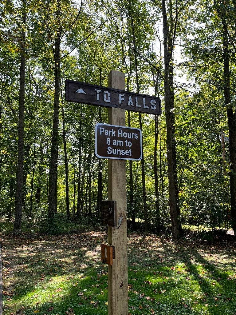
On this Sunday, Centred Outdoors met us at Williamsburg Station. This spot was once an actual railway station, the perfect spot to hop on the trail and start walking. A big pavilion near the trail has picnic tables and a bike repair station, where trail users can make minor repairs on their bicycles. The trail near Williamsburg Station is paved and has wide grassy shoulders on either side, perfect for walkers to step to the side when bikers whizz by.
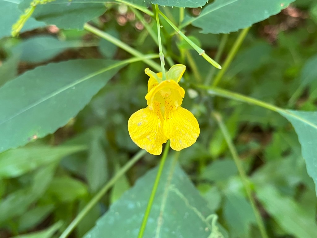
Olivia served as our guide for the day, stopping periodically to point out interesting historical and natural facts about the Lower Trail. She noted lots of tree and shrub species, drawing our attention to some replanting efforts made along the waterside. As a group, we admired the towering American Sycamores holding up the bank of the Frankstown Branch. Opposite the river, the bank was coated in Pale Jewelweed, a Pennsylvania native wildflower. We took turns touching the ripe fruit of the jewelweed, which shivered and exploded to the touch.
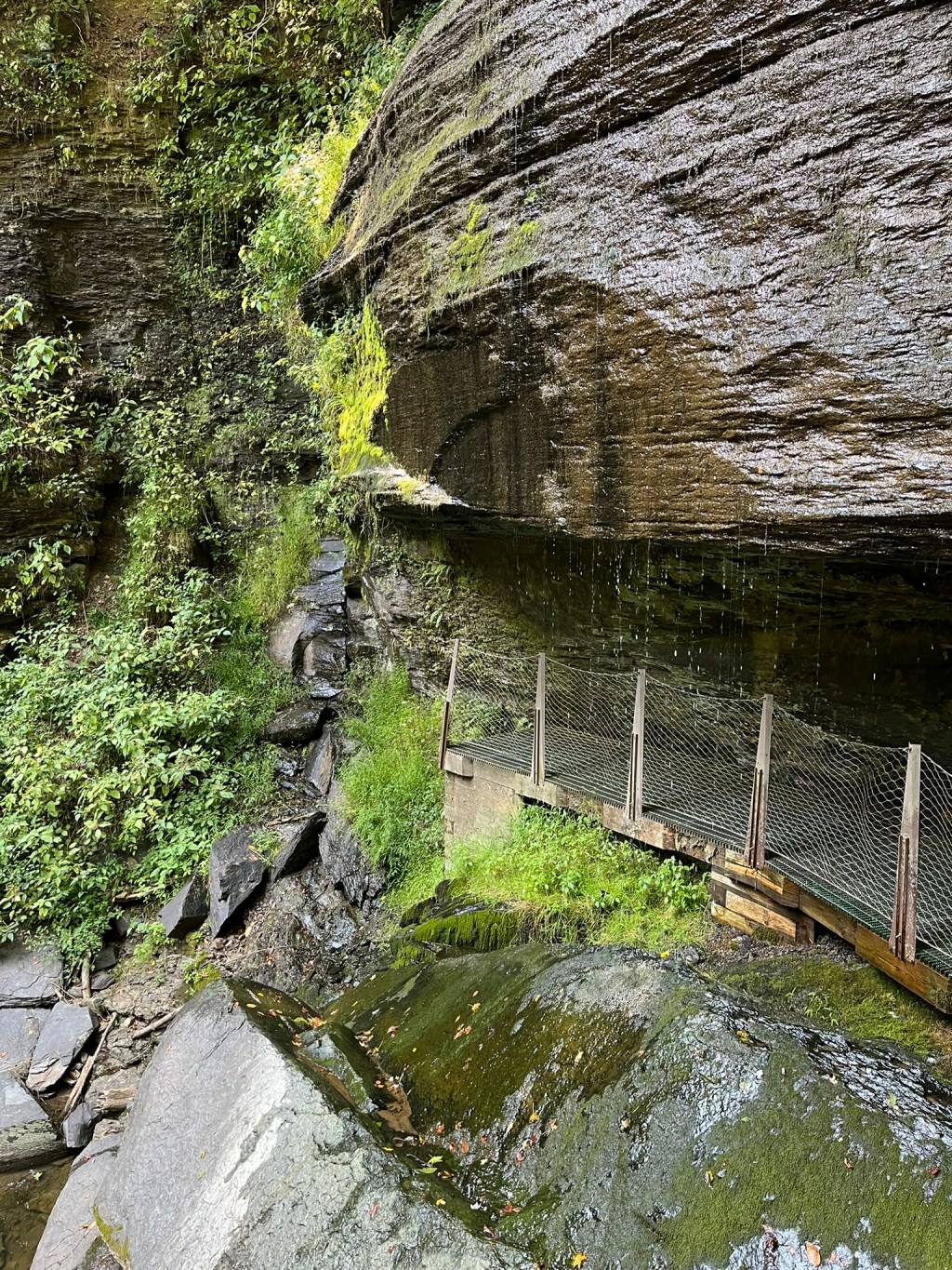
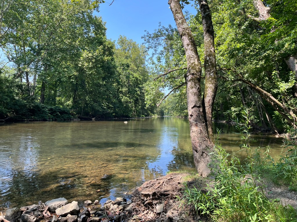
Meandering back from our turning point, our group took in the sights and sounds of the Frankstown Branch flowing below us. One of our stops was at canal ruins, the location of the keeper’s home and canal lock. Only the foundation and some rubble remain, but we climbed around, taking plenty of pictures. Carefully we navigated the shrubbery past the grassy path shoulders, taking care to avoid brushing up against poison ivy or tree of heaven.

All too soon, our walk was finished for the day. Fortunately, the Lower Trail Creamery was open. Just a few bucks later, I had a hot fudge sundae, and my husband had a milkshake. We enjoyed our snacks and watching bicyclists on the trail. We spotted all kinds of bikes- mountain, racing, and recumbent. It felt like all of Blair County was out on the trail, speeding along on two wheels.
If you are interested in visiting the Lower Trail, I highly recommend starting your trip at Williamsburg Station. With the trail paved for some distance in both directions, it makes for easy and shady walking. If you wear good bug spray and give bicyclists right-of-way, you will have a relaxed hike. Choose to have a snack at the Creamery before you go, and you’ll find yourself having a perfect Central Pennsylvania summer day.